The BERNARD Gruppe was commissioned by TOURISMUSVERBAND TIROLER OBERLAND Erlebnisraum Nauders to prepare a geological natural hazard assessment along the planned cycle path (Via Claudia) in the Tyrolean Oberland (Nauders, Pfunds).
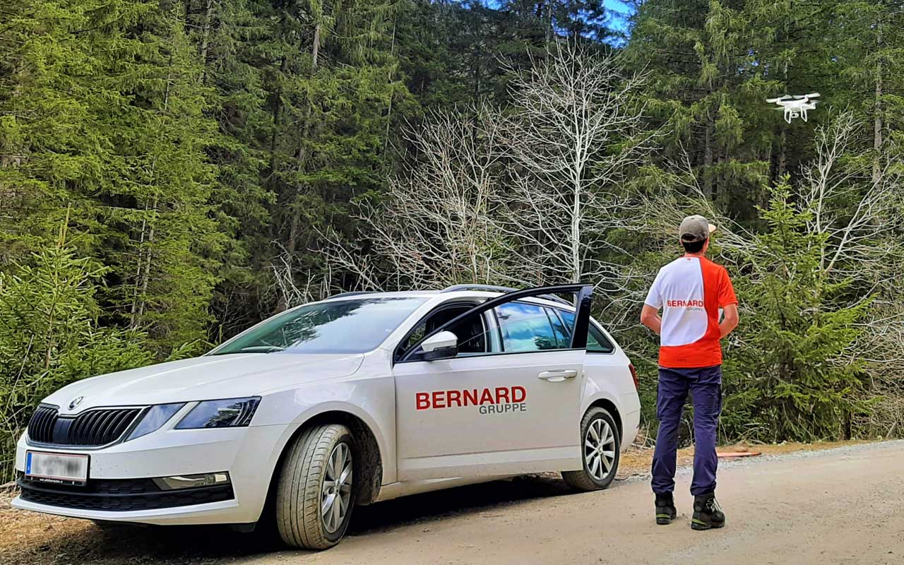
Due to the difficult accessibility of the project area, drones were used in addition to conventional geological terrain surveying.
Photographs and videos were taken of inaccessible potential demolition areas. Furthermore, georeferenced aerial photographs were taken and 3D models were created from photogrammetric images. With this information, volume analyses (e.g. for block sizes) and structural geological evaluations (interface orientation, opening widths, etc.) could be carried out.
The use of drones makes it possible to obtain important additional information for geological assessment, especially in areas that are difficult to access. The benefits in terms of work safety when using drones are also significant.
Christoph Willegger, BERNARD Gruppe